Customer: FinPromStroy OOO, Miass.
Task: to determine the boundaries of the potential underground cavities and to localize tectonic disturbances on the site.
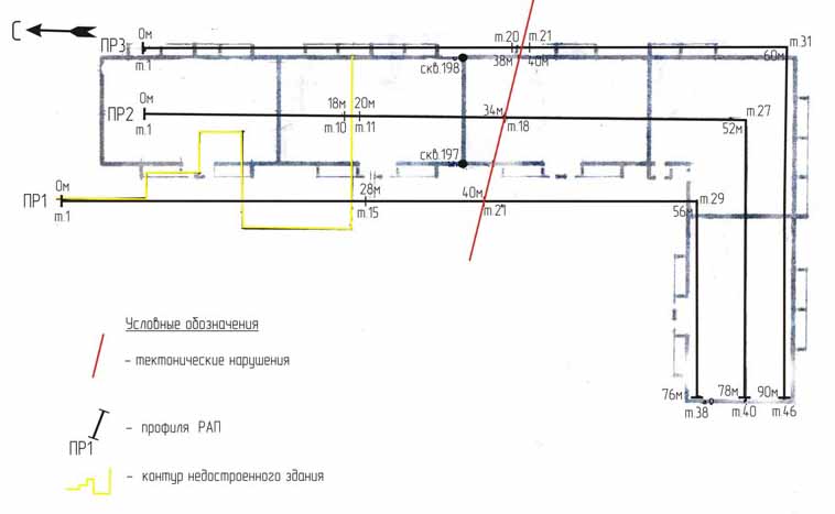
To solve the task the agreement implied and fulfilled in-situ geophysical surveys by means of resonant-acoustic profiling (RAP) and further laying off measurement network and office data processing. To increase the amount of the research details and to obtain additional geological information about the site, the biogeophysical (BGP) method was used as well.
Biogeophysical method made it possible to find and localize quickly the only fault (red line in the fig.) in the area. Judging by geomechanical angle stacks of RAP, the given fault did not give an effect on the surface of the site bedrock. The characteristic excessive disintegration and cleavage of the faults in their side walls began to appear only at the depth of more than 180 meters.
CONCLUSIONS
-
The site is located on the rather stable block of the bedrock foundation. It is crossed by the only fault which location is given in Appendix 2. In cases when the buildings are constructed above such faults and their foundations are not reinforced, the cracks may appear on their walls as well as on the concrete floor and in cellars, building sidewalks are damaged. In case of the increased radon hazard of the area, the sudden growth of radon from soil may be caused by such cracks.
-
There are no any underground cavities immediately under the site of the given block of flats.
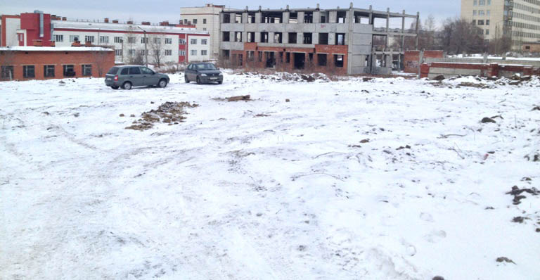
The cavity is found near the half-constructed and abandoned building (well-child clinic). Failure of piles and armoured floors is observed in the place where the building crosses the given underground working.
It appears that this ancient underground mine has the width, which varies within 2.5-3.5 meters and stretches several hundreds of meters northwards. The mine is discontinued at the ruins of some old foundation projecting a little above the daylight surface. Obviously, the mine entrance was located in the former building.
More information about water prospecting by means of the unique complex of geophysical methods is given here:


